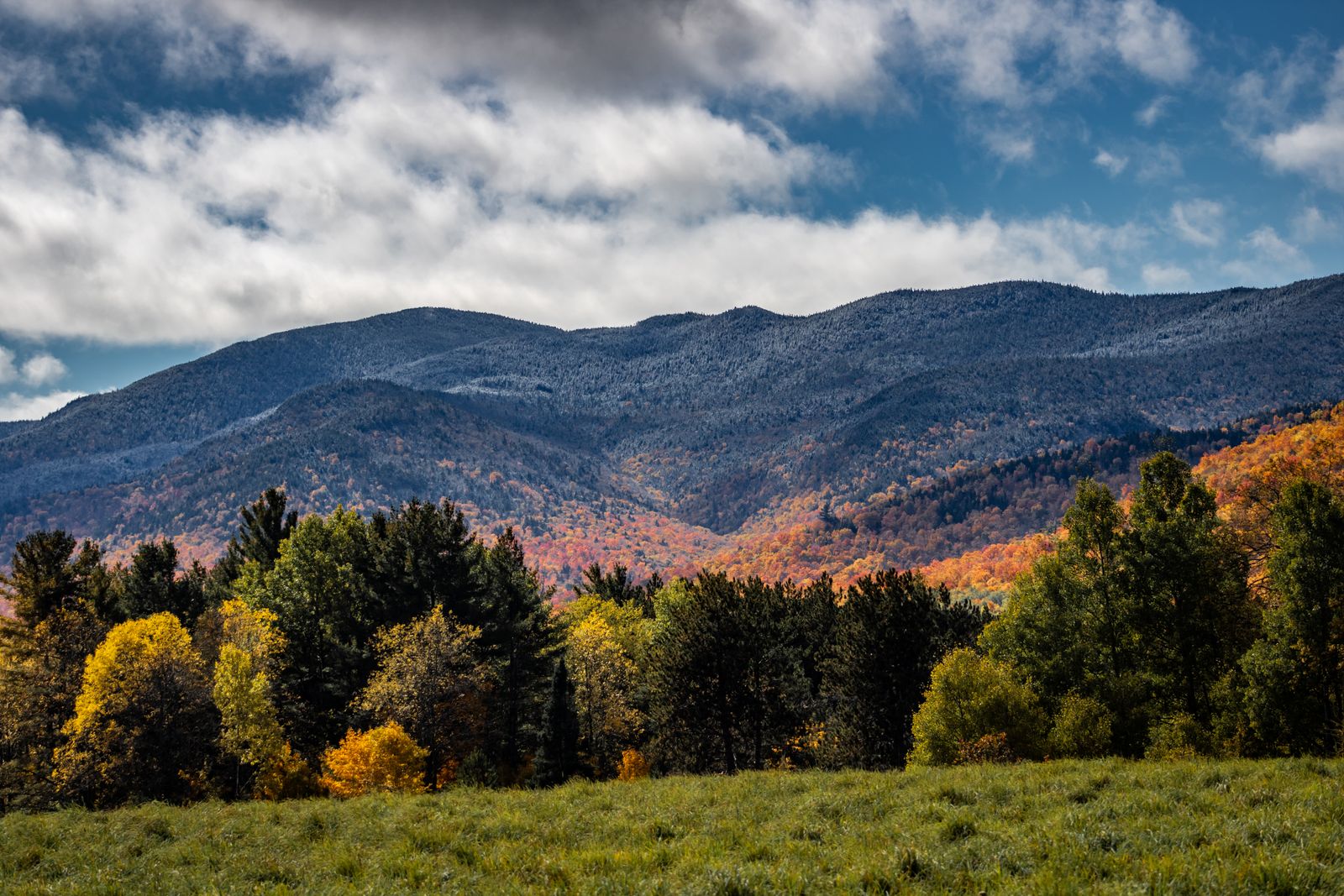
Mountains at the center
For all its civic and culinary fame, Washington County is ringed by mountains and laced with water. The Worcester Range rises east of the capital, the Green Mountains wall the Mad River Valley, and Route 100 threads it all.
Summit hikes
The county has classic climbs.
Camel’s Hump — Vermont’s wild signature peak, from the Duxbury side.
Hunger Mountain — a steep, rewarding scramble in the Worcester Range.
Mount Hunger & Stowe Pinnacle — big views for a half-day’s effort.
Water & valley
Waterbury Reservoir is the county’s summer playground — paddling, swimming and mountain-ringed camping — while the Mad River offers swimming holes like Warren Falls and gentle valley walking on the Mad River Path.
The Route 100 drive
Few roads beat Route 100 as it runs the length of the valley, past covered bridges, cider mills, farm stands and the Granville Gulf’s roadside Moss Glen Falls — spectacular in fall foliage.
Bon à savoir
Questions fréquentes
What’s the best hike?
Camel’s Hump from Duxbury for the wild summit, or Hunger Mountain in the Worcester Range for big views closer to the capital.
Where can I paddle or swim?
Waterbury Reservoir for paddling and camping, and Warren Falls on the Mad River for a classic swimming hole.
Is Route 100 worth driving?
Absolutely — it’s one of Vermont’s great scenic roads, especially through the Mad River Valley in fall.
Chaque réservation via Vermont Destinations finance une tonne vérifiée de CO₂ retirée — même chambre, même prix, sans majoration.
Trouver un séjour