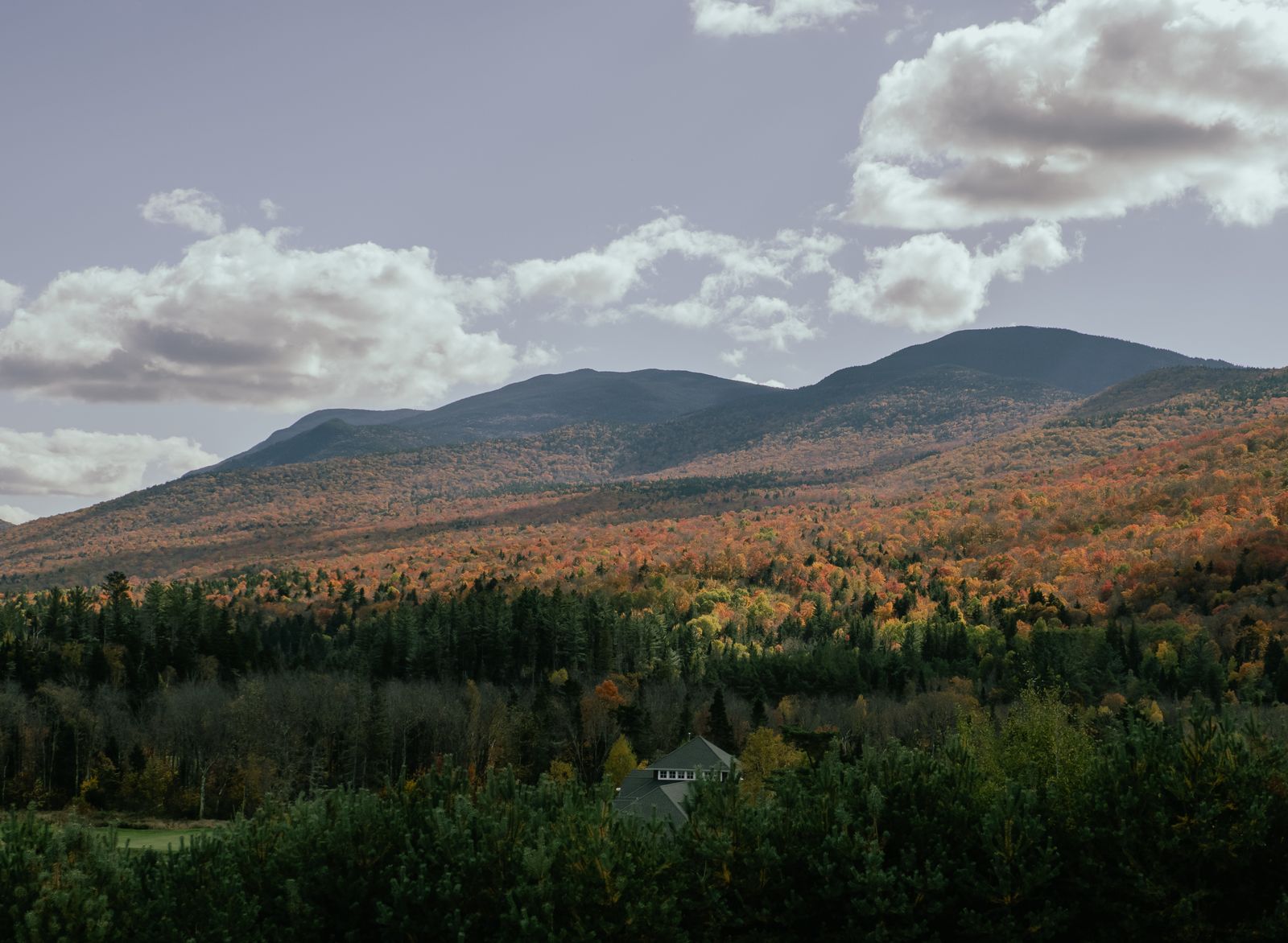
Where mountains meet big water
Southern Windham County occupies an unusual ecological transition. As the Green Mountains descend toward the Massachusetts border, the high alpine ridges give way to expansive lakes, deep river valleys and sweeping panoramas — a softer, broader landscape than the narrow gaps further north.
That geography produces a different kind of Vermont outdoors. Here you can stand at a roadside overlook and see across three states, paddle the largest body of water entirely contained within Vermont, or bike remote wilderness trails along the upper Deerfield River — none of it requiring an alpine ascent.
For road trippers, photographers and anyone who prefers big water to big summits, this corner delivers more accessible reward per hour than almost anywhere in the state.
Hogback Mountain and the 100-Mile View
Perched directly on Route 9 — the Molly Stark Byway — between Brattleboro and Wilmington, Hogback Mountain at 2,410 feet offers one of the most famous roadside vistas in New England.
Known simply as the 100-Mile View, the overlook faces south and east across a vast ocean of forested ridges. On a clear day you can pick out Mount Monadnock in New Hampshire, Mount Greylock — the highest peak in Massachusetts — and the rolling southern spine of the Green Mountains. The pull-off is free, the view requires no walking, and a country store beside it sells maple products and Vermont cheeses.
Behind the overlook lies something most visitors miss entirely: over 600 acres of protected land maintained by the Hogback Mountain Conservation Association. A network of moderate hiking trails — the Bishop West Trail and the Sugarhouse Loop among them — leads through high-elevation spruce-fir forest, past old stone walls and through abandoned apple orchards. It is quiet, well-signed and free, and it turns a five-minute photo stop into a half-day.
Fifteen minutes east on Route 9 sits the Creamery Covered Bridge, an 1879 Town lattice span just outside Brattleboro, and thirty minutes west is Wilmington village.
Harriman Reservoir
Stretching more than nine miles in length near Wilmington, Harriman Reservoir — also called Lake Whitingham — is the largest body of water entirely located within the state of Vermont.
What makes it remarkable is what is not on it. Because the surrounding land is managed to protect the watershed, the shoreline is almost completely free of houses, docks and development. The result is a genuine wilderness feel on a lake big enough to lose yourself on, which is a rare combination in New England.
The reservoir’s north-south orientation channels consistent afternoon breezes, which has made it a favourite for windsurfing, sailing, kayaking and paddleboarding. Several public launches sit along Route 9 and the access roads west of Wilmington. Fishing is good for smallmouth bass, brown trout and yellow perch, and ice fishing takes over in winter.
The Ledges, on the eastern shore, is the popular swimming area — smooth granite outcroppings for sunbathing with easy water access. It is clothing-optional by long tradition, which visitors should know before arriving with children. Quieter swimming and picnicking is available at the Mountain Mills and Whitingham accesses further along the lake.
Somerset Reservoir and the deep backcountry
North of Harriman, up a gravel forest road off Route 9 in the Green Mountain National Forest, Somerset Reservoir offers something else entirely: a remote, motor-restricted wilderness lake at high elevation with almost no development and very few people.
The drive in is part of the experience — roughly ten miles of well-graded gravel through national forest, passable in any car in summer but slow. At the end there is a boat launch, a small day-use area and nothing else. Horsepower limits keep the lake quiet, which is exactly the point.
Surrounded by bog habitat and spruce-fir forest, Somerset is among the premier wildlife-watching spots in southern Vermont. Common loons nest here and their calls carry across the water at dawn and dusk; bald eagles work the shoreline; and moose graze the boggy margins, particularly early and late in the day. Bring binoculars and patience.
The reservoir is also the trailhead for backcountry paddling and hiking in the Green Mountain National Forest, with the Long Trail crossing the ridges to the east. There are no facilities, no cell service and no supplies — fuel up and provision in Wilmington before you turn off Route 9.
The Molly Stark Byway
Route 9, connecting Brattleboro to Bennington across the southern Green Mountains, is designated the Molly Stark Byway — named for the wife of the Revolutionary War general John Stark, who won the Battle of Bennington. It is one of the best short scenic drives in Vermont, about 40 miles end to end, and it links most of what this guide covers.
Brattleboro — start on the Connecticut River with galleries, the food co-op, the art-deco Latchis Theatre and brick downtown architecture.
The Creamery Covered Bridge — an 1879 Town lattice span two miles west of downtown Brattleboro, free and quick.
Marlboro — quiet mountain terrain and home of the Marlboro Music Festival, a celebrated summer chamber music gathering.
Hogback Mountain — the 100-Mile View overlook, the country store and 600-plus acres of conservation trails behind it.
Wilmington — a lively village crossroads of independent bookshops, antique dealers and riverside dining, rebuilt after Tropical Storm Irene.
Harriman Reservoir — nine miles of undeveloped mountain lake just west and south of Wilmington, with swimming at the Ledges.
Woodford and Prospect Mountain — the highest-elevation town in Vermont, with a community nordic ski area and Woodford State Park.
Bennington — finish at the 306-foot Battle Monument, Robert Frost’s grave and the Grandma Moses collection.
Practical notes and where to stay
Everything here strings along Route 9 between Brattleboro and Bennington, with Wilmington as the natural midpoint and base. Brattleboro is at I-91; Bennington sits at the junction of Routes 7 and 9. The whole byway takes an hour to drive without stops, or a full day with them.
Summer is best for the reservoirs — Harriman warms enough for comfortable swimming by July, and Somerset’s wildlife is most active in June and July. Foliage in the first half of October makes the Hogback view and the byway itself spectacular, and it is the busiest fortnight of the year. Winter brings ice fishing on Harriman, nordic skiing at Prospect Mountain and Grafton, and skiing at Mount Snow twenty minutes north of Wilmington. Route 9 climbs and is exposed, so winter driving needs proper tires.
Three practical points. Cell service drops out on the Somerset road and in parts of the national forest, so download maps first. Somerset has no facilities or supplies at all. And the Ledges at Harriman is clothing-optional by tradition, which is worth knowing in advance.
For lodging, Wilmington and Dover have the widest choice in the area, from mid-range hotels and inns to slopeside options at Mount Snow. Brattleboro, thirty minutes east, is the best value and adds a real town in the evening. Woodford State Park and Molly Stark State Park offer camping on the byway itself. Compare live prices in the search below, with free cancellation on most rooms.
Good to know
Common questions
Where is the 100-Mile View?
On Hogback Mountain in Marlboro, at 2,410 feet, directly on Route 9 — the Molly Stark Byway — between Brattleboro and Wilmington. The free roadside overlook faces south and east to Mount Monadnock in New Hampshire and Mount Greylock in Massachusetts.
What is the largest lake entirely in Vermont?
Harriman Reservoir, also called Lake Whitingham, near Wilmington — more than nine miles long. Lake Champlain is larger but is shared with New York and Quebec. Harriman’s shoreline is almost entirely undeveloped because the land is managed to protect the watershed.
Can you swim in Harriman Reservoir?
Yes. The Ledges on the eastern shore is the popular spot, with smooth granite outcroppings and easy water access — note that it is clothing-optional by long tradition. Quieter swimming is available at the Mountain Mills and Whitingham accesses.
What makes Somerset Reservoir special?
It is remote, motor-restricted and undeveloped, reached by about ten miles of gravel forest road in the Green Mountain National Forest. Bog habitat and spruce-fir forest make it one of southern Vermont’s best places to see nesting loons, bald eagles and moose. There are no facilities or cell service.
What is the Molly Stark Byway?
Route 9 between Brattleboro and Bennington, about 40 miles across the southern Green Mountains, named for the wife of General John Stark. It links Brattleboro’s arts scene, the Creamery Covered Bridge, Marlboro, Hogback’s 100-Mile View, Wilmington, Harriman Reservoir and the Bennington Battle Monument.
Every booking through Vermont Destinations funds one verified tonne of carbon removal — same room, same price, no markup.
Find a stay