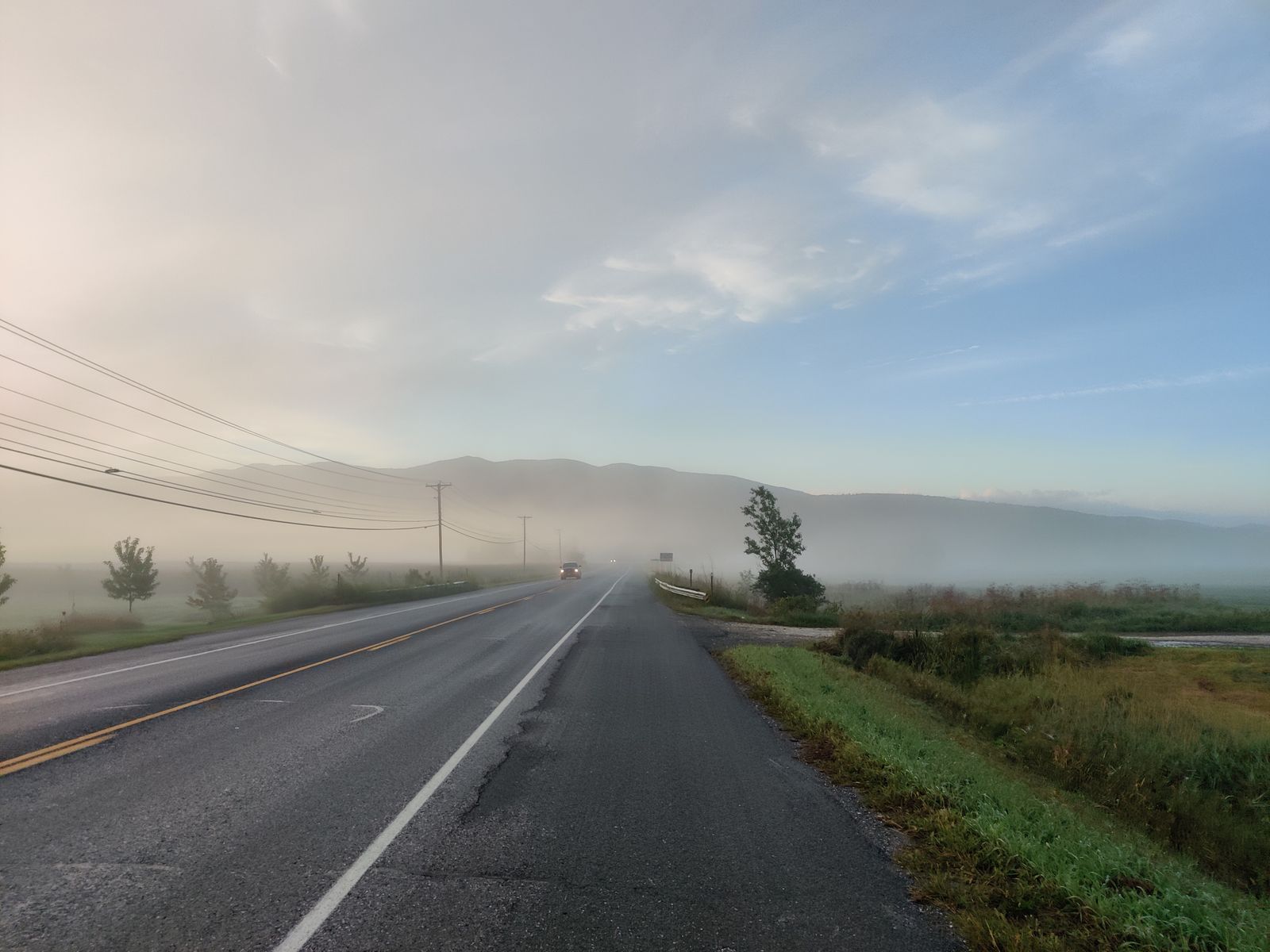
Why Vermont rides so well
Vermont has more miles of unpaved road than paved, a dense network of low-traffic town lanes, over a hundred wooden covered bridges, and a mountain spine that throws up some of the steepest paved gradients in North America. That combination makes it a genuinely world-class cycling state at every level.
What follows are five routes that between them cover the whole range: a flat lake loop that anyone can ride, a century with 10,500 feet of climbing that will humble professionals, a remote gravel loop in the Northeast Kingdom, a covered-bridge tour through the southwest, and the classic Route 100 corridor through the Mad River Valley.
Each entry gives the terrain section by section, the bike and tyre setup that actually suits it, and where to eat — because in Vermont the general store is part of the route.
1. The Champlain Islands scenic loop
This is the crown jewel of flat, scenic riding in Vermont: about 52 miles with only 1,400 feet of gain, crossing Lake Champlain on historic causeways and threading through South Hero, Grand Isle and North Hero on quiet town roads. Water on both sides, the Adirondacks to the west and the Green Mountains to the east.
From the Burlington waterfront you start on the paved Island Line Trail, built on the Rutland Railroad’s old footprint, heading north through Waterfront Park and past North Beach. Around mile 10 the surface turns to hard-packed crushed limestone as the trail runs out onto the Colchester Causeway — a three-mile stone jetty straight into the lake. Riding it feels like cycling on the water’s surface.
At the far end is the Cut, a 200-foot gap in the breakwater for boat traffic. From late May through October the Local Motion bike ferry shuttles riders across in under five minutes for a small fee. Ashore in South Hero you pick up West Shore Road and Route 314, flat and nearly traffic-free along the coast, then cross the drawbridge into North Hero past dairy pasture, vineyards and orchards. The return along East Shore Road gives you Malletts Bay and the distant silhouette of Mount Mansfield.
Wind is the one real variable: the route is fully exposed over open water and northern headwinds build through the afternoon, so leave early.
Setup — endurance road, gravel or hybrid bike on 28 to 38mm tyres; 23mm race slicks feel twitchy on the causeway gravel.
Eat — Hackett’s Orchard in South Hero for cider and donuts; Blue Paddle Bistro or Two Heroes Brewery for a proper lunch; Hero’s Welcome in North Hero, on the water with dock seating and thirty-plus sandwiches.
Swim — Sand Bar and Knight Point State Parks, both shallow and warm by July.
Ferry — Local Motion bike ferry, late May to October; check the day’s hours before you commit to the causeway.
2. The LAMB gap ride
If you measure a ride in vertical feet, the LAMB is Vermont’s final exam: about 108 miles and 10,500 feet of climbing over Lincoln, Appalachian, Middlebury and Brandon Gaps. It is widely considered one of the hardest single-day paved routes in North America.
Lincoln Gap, taken east to west from Rochester or Warren, starts deceptively gently and turns into a wall. The upper mile hits a maximum grade of 24 per cent — the steepest paved mile in North America — and holding traction there takes very low gearing and total focus. The 2,424-foot summit drops you into a technical descent to Lincoln.
Appalachian Gap follows: from Bristol north to Huntington, then Route 17 for roughly 1,600 feet over five miles, winding through hardwood before opening into steep switchbacks. The final 500 metres hold a sustained 15 to 18 per cent to a summit overlook facing the Adirondacks.
Middlebury Gap, west to east on Route 125 past the Middlebury College Snow Bowl, is longer and kinder at 6 to 8 per cent average on smooth, wide asphalt — a rhythm climb with a fast sweeping descent. Then Brandon Gap on Route 73 closes the loop: eighty miles and three passes into your legs, carving between Mount Horrid and Mount Goss through a narrow rock canyon where peregrines nest, and paying out with an eight-mile descent back to Rochester.
Gearing — a standard 53/39 with an 11-28 will break most riders on Lincoln. Run compact 50/34 or sub-compact 48/32 with an 11-34 or 11-36.
Brakes — hydraulic discs with 160mm rotors; rim brakes overheat on these descents.
Eat — the Warren Store for deli and pastries before App Gap; Mad River Taste Place in Waitsfield; Cubbers in Bristol for high-carb lunch; Rochester Cafe & Country Store at the base of Brandon Gap.
Avoid — April to early May, when snowmelt, winter sand on the switchbacks and frost heaves make the descents genuinely dangerous.
3. The gravel gold coast: Craftsbury and the Northeast Kingdom
Vermont’s unpaved network is why gravel riders come from other continents, and the Northeast Kingdom holds the best of it: marble-hard packed clay, rolling farm roads, covered bridges, dense timberland and forgotten town roads. This loop of about 62 miles and 5,200 feet links Craftsbury, Greensboro, Glover and Albany.
From the Craftsbury Outdoor Center — a genuine endurance-sport mecca — you hit wide Class-3 dirt immediately on roads like Creek Road and Horizon Lane, with short punchy rollers of 4 to 10 per cent past timber-frame barns, working sugarhouses and open pasture.
Deeper toward Glover and Albany the route drops onto Class-4 roads: unmaintained public rights-of-way that look and ride like forest doubletrack. Expect exposed granite ledge, shallow stream crossings, mud and leaf-covered descents through birch and balsam fir. Line choice matters here.
Out of the forest, wide gravel rolls south to Greensboro and around Caspian Lake, one of Vermont’s clearest glacial lakes, with the final ten miles back to Craftsbury on smooth rolling dirt past dairy farms and hilltop clearings.
Setup — tubeless is essential; 38 to 45mm tyres with moderate knobs to survive sharp Class-4 stone without pinch-flatting.
Carry — tubeless plugs, hand pump, spare tubes, multi-tool with chain breaker, spare derailleur hanger. Cell coverage is poor to nonexistent.
Navigate — download offline GPX to a bike computer; do not rely on live phone routing.
Eat — Willey’s Store in Greensboro, a 125-year-old general store that sells everything; Craftsbury General Store for wood-fired pizza; and Hill Farmstead Brewery, one of the best in the world, with a lawn made for post-ride recovery.
Respect — many roads cross working timberland and farms. Stay on the public right of way, pack out everything, leave gates as you found them.
4. The covered bridges of southwestern Vermont
Vermont has over a hundred historic wooden covered bridges — the highest concentration per square mile in the United States — and this 45-mile loop in Bennington County, between the Taconics and the Green Mountains, strings five of the best together on quiet valley roads with only 2,100 feet of gain.
Silk Road Bridge, built 1840, spans the Walloomsac in Bennington and is among the oldest surviving covered bridges in the state. Paper Mill Village Bridge, 1889, sits two miles downstream beside historic mill sites with clear views of river rapids. Henry Bridge, 1840 and rebuilt in 1989, is a striking red span near the Bennington Battlefield historic site. Chiselville Bridge, 1870, stands 42 feet above Roaring Branch brook on high stone abutments, and its header still carries the sign warning of a one-dollar fine for driving faster than a walk. And Arlington Covered Bridge, 1852, sits in West Arlington on Route 313 next to Norman Rockwell’s former home.
Between them the route uses historic lanes like Murphy Road and River Road, alternating smooth asphalt and fine-grained dirt, running parallel to the Battenkill — a world-famous brown trout river. The Taconics to the west and Green Mountains to the east form a sheltered corridor that keeps wind speeds low.
One safety note that matters: wooden bridge decks are slick when wet or leaf-covered. Ride straight through, and never turn or brake hard on wet timber planks.
Setup — all-road, endurance road or gravel bike on 30 to 35mm smooth or semi-slick tyres.
Eat — South Street Cafe in Bennington for espresso and breakfast; Arlington Country Store for deli and maple candy; Madison’s Brewing Company for post-ride pub food; Up For Breakfast or The Black Kalv in Manchester.
See — the Bennington Battle Monument, a 306-foot obelisk with an elevator to an observation deck, commemorating the 1777 battle.
Bonus — the Battenkill has public angler access points directly alongside the route; a collapsible fly rod is not a ridiculous thing to carry.
5. The Mad River Valley and the Route 100 corridor
Route 100 is Vermont’s Main Street: north-south down the centre of the state at the foot of the Green Mountains, linking mountain villages, breweries, ski resorts and river valleys. The Mad River Valley section — Waterbury south through Waitsfield and Warren and over Granville Gulf — is about 68 miles and 3,800 feet, and it is classic Vermont road riding.
From Waterbury you head south following the Mad River, on a wide, smooth, well-maintained shoulder past historic farmsteads, red barns and swimming holes. Rather than staying on the highway the whole way, detour onto East Warren Road, which runs parallel along a high ridge above the valley floor with continuous views of Sugarbush and Mad River Glen, punchy fun climbs, minimal traffic and a run of beautiful barn complexes.
South of Warren the road enters the Granville Gulf State Reservation, a wild six-mile pass hemmed in by steep forested cliffs and the winding White River. Moss Glen Falls drops 80 feet right beside the road, and the shaded gorge stays cool at the height of summer. Turn around at the southern end, or loop back via Routes 125 and 12.
Warren Falls, just off Route 100, is the mid-ride reward on a hot July afternoon — emerald pool basins and sculpted rock along the Mad River.
Setup — standard or endurance road bike on 25 to 30mm slicks; pavement quality here is excellent.
Visibility — Route 100 is popular with motorists and motorcyclists alike; run daytime front and rear lights.
Eat — coffee and pastries in Waterbury, then Canteen Creemee Company in Waitsfield for a real maple creemee, Lawson’s Finest Liquids for the taproom and beer garden, and the Warren Store, perched over the river on a wooden deck.
Do — the Ben & Jerry’s factory and Flavor Graveyard at the northern end in Waterbury.
Comparing the five
Pick by surface and by how much climbing you actually want.
Champlain Islands — northwest Vermont, 52 miles, 1,400 feet, paved plus rail-trail gravel. Endurance road or hybrid.
LAMB gap ride — central Vermont, 108 miles, 10,500 feet, paved. Lightweight road bike with compact gearing.
Gravel gold coast — Northeast Kingdom, 62 miles, 5,200 feet, dirt and Class-4. Tubeless gravel bike.
Covered bridges — southwest Vermont, 45 miles, 2,100 feet, mixed paved and gravel. All-road or gravel bike.
Mad River Valley — central Vermont, 68 miles, 3,800 feet, paved. Standard road bike.
Planning, seasons and where to sleep
The riding season runs roughly May to October. Spring is the one to be careful with: through April and early May, snowmelt, residual winter sand on switchbacks and frost heaves make mountain descents unpredictable. June through August gives the most reliable surfaces and the warmest swimming. Foliage, mid-September to mid-October, is the most beautiful riding of the year and also the busiest — traffic on Routes 100 and 17 climbs sharply, so run lights at all times.
For lodging, match the base to the route. Burlington and the islands for the Champlain loop; Waitsfield, Warren or Rochester for the LAMB and Route 100; Craftsbury or Greensboro for the gravel; Bennington, Arlington or Manchester for the covered bridges. Most inns in cycling country will let you store a bike indoors if you ask when booking.
Compare live prices in the search below, with free cancellation on most rooms.
Good to know
Common questions
What is the best easy cycling route in Vermont?
The Champlain Islands loop — about 52 miles with only 1,400 feet of gain, on the paved Island Line Trail, the crushed-limestone Colchester Causeway and quiet island town roads. The Local Motion bike ferry crosses the causeway gap from late May through October.
What is the hardest bike ride in Vermont?
The LAMB gap ride: about 108 miles and 10,500 feet over Lincoln, Appalachian, Middlebury and Brandon Gaps. Lincoln Gap’s upper mile reaches 24 per cent, the steepest paved mile in North America.
What gearing do I need for Vermont’s gaps?
A compact 50/34 or sub-compact 48/32 chainset with an 11-34 or 11-36 cassette. A standard 53/39 with an 11-28 will defeat most riders on Lincoln Gap. Hydraulic disc brakes with 160mm rotors are strongly preferred on the descents.
Where is the best gravel riding in Vermont?
The Northeast Kingdom around Craftsbury and Greensboro — about 62 miles and 5,200 feet mixing hard-packed Class-3 dirt with rugged unmaintained Class-4 roads. Run tubeless 38 to 45mm tyres and download offline GPX; cell coverage is poor.
Is it safe to ride across Vermont’s covered bridges?
Yes, but wooden decks are slick when wet or leaf-covered. Ride straight through without turning or braking hard on the planks. The five-bridge Bennington County loop is 45 miles with 2,100 feet of gain on mixed surfaces.
Every booking through Vermont Destinations funds one verified tonne of carbon removal — same room, same price, no markup.
Find a stay